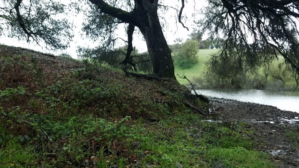
How deep is the water table in Sonoma County? Why your well is lowest this fall, and what winter will do
Your well is at or near its lowest point of the year right now. In the reports drillers filed for about 13,000 Sonoma County home wells, half found water 40 feet down or less. In Sonoma Valley it is often twice as far down. Winter rain lifts the water table again, slowly. Fall is the best time to measure yours.
This is the low point. After a long dry summer of pumping and thirsty plants, groundwater in the county's main basins sits lower in fall than in spring.[1][2]
That matters here. Sonoma County has roughly 40,000 water wells, more per person than any other county in California. About 23,000 properties rely on a private well for their main water.[3]
How low your water sits depends on where you live. The table below shows it town by town.
What is the water table, in plain words?
Dig down far enough and the ground gets wet, then full. Here is what you pass on the way.
- The dry zone. Just under the soil, the tiny gaps between grains of sand, gravel and clay hold both air and water. A well here gives nothing, because the water clings too tightly to the grains.[2]
- The water table. Lower down, every gap is full of water. The top of that full layer is the water table.[2] It is not a lake underground. It is wet sand, gravel or cracked rock.
- The aquifer. A layer full of water that can move through it, so a well can pump from it.[4]
- Two layers. In many places a shallow aquifer sits on top. A deep aquifer sits under a layer of clay, which keeps its water under pressure.[4][1]
Source: U.S. Geological Survey and the Santa Rosa Plain groundwater agency.[2][4]
Two numbers describe your well, and people mix them up.
- Well depth is how far the hole goes. A typical home well in Sonoma County is drilled 100 to 500 feet deep.[5]
- Depth to water is how far down the water stands in the well when the pump has been off for a while.[5][4] This is the number that rises and falls with the seasons.
How deep is it where you live?
Every time a well is drilled in California, the driller must file a report with the state within 60 days.[6] We pulled every report for a new home well in Sonoma County. About 22,500 list a well depth, and about 13,000 list the water level the driller found.[7]
The "typical" number below is the middle one: half the wells were shallower, half deeper. Sonoma Valley towns at the top have the deepest wells. West county towns at the bottom have the shallowest. Find your town.
| Town on the report | Typical well depth | Typical depth to water |
|---|---|---|
| Sonoma | 415 ft | 80 ft |
| Glen Ellen | 380 ft | 80 ft |
| Kenwood | 257 ft | 55 ft |
| Penngrove | 244 ft | 70 ft |
| Petaluma | 240 ft | 54 ft |
| Cotati | 234 ft | 60 ft |
| Sebastopol | 210 ft | 45 ft |
| Healdsburg | 200 ft | 50 ft |
| Santa Rosa | 185 ft | 40 ft |
| Windsor | 176 ft | 40 ft |
| Cloverdale | 160 ft | 40 ft |
| Forestville | 160 ft | 27 ft |
| Guerneville | 120 ft | 34 ft |
| Occidental | 119 ft | 25 ft |
Source: state driller reports, our calculation.[7] The town is the one on the report, so it includes the hills around it. Depth to water is what the driller saw on one day, often years ago. Data and method.
- Countywide, the middle well is about 200 feet deep, and the middle water level is 40 feet down. Six in ten drillers found water within 50 feet.[7]
- Sonoma Valley wells go deepest. The records don't say why. Three local groundwater agencies track the county's three main groundwater basins, under the Santa Rosa Plain, Sonoma Valley and Petaluma Valley.[3] The Sonoma Valley agency reports that deep water levels near El Verano and east of Sonoma have been falling for decades.[8]
- West county wells are shallow. Near Occidental and Forestville the water often stood within about 25 to 30 feet.[7]
- Your neighbor's well is a hint, not an answer. In the Santa Rosa Plain, the agency says levels in nearby wells can differ a lot, because wells are built differently and the geology changes fast across many faults.[1]
Hills are their own story. Some wells draw water from cracks in hard rock instead of sand and gravel.[4] Permit Sonoma, the county permit office, ranks land from Class 1, major groundwater basins, to Class 4, where wells give little water or vary a lot.[9] To see if you sit over one of the three basins, try the water map.
Why do new wells go so much deeper?
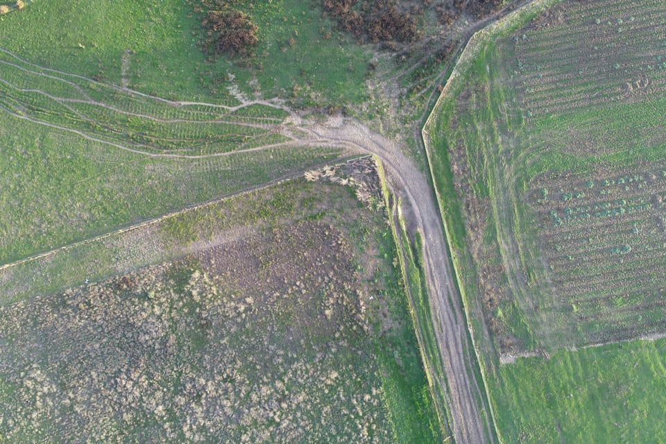
Here is the surprise in the records. Look at how far the blue bars drop, and how little the gray ones do.
Source: state driller reports, our calculation.[7] Data and method.
- Depth nearly quadrupled. The middle new home well went from 82 feet in the 1950s to 300 feet in the 2020s.[7]
- The water level drillers found changed less. Drillers found water about 20 feet down in the 1950s and about 61 feet down in the 2020s.[7]
- That is not proof the water table fell. Each decade's wells were drilled in different places, for different homes. The records don't say why wells got deeper, so we won't guess.
Where the water table really is falling, the Sonoma Valley agency says so plainly. In the Eastside area, east of the city of Sonoma, some wells have dropped more than 150 feet in about 20 years, because pumping takes more than the deep aquifer can refill. Some owners there have had to drill a replacement or a second well.[8] See how the three basins are doing and our news post on Sonoma Valley's plan to cut pumping.
Why is my well lowest in October?
Think of the water table as a tide that turns once a year.
- Winter: rain soaks down and refills the ground. Water that soaks in to the water table is called recharge.[2][4]
- Summer: little or no rain, while wells keep pumping through the dry months.[5] Rain that does fall in warm, dry weather mostly goes back to the air through plants and evaporation.[4]
- So spring is high and fall is low. The Santa Rosa Plain agency calls this the typical seasonal pattern for its basin, and the agencies measure in both seasons to track it.[1][10]
How big is the swing? The agencies measure special test wells, called monitoring wells, each spring and fall. We compared the 2025 readings in two basins. Water year 2025 means October 2024 to September 2025. In the Santa Rosa Plain, the middle shallow well fell about 3 feet. In both basins, deep wells fell more than shallow ones.
Source: the agencies' 2025 annual reports, our calculation.[1][11] Data and method.
- Shallow wells in the Santa Rosa Plain barely moved, about 3 feet. Home wells are the main users of this shallow layer there.[1]
- A big drop in a deep well can mean little water used. Deep water is under pressure. Pump a little, and the level falls a lot.[1]
- Sonoma Valley's deep wells swung up to 71 feet between spring and fall.[11]
- This was one year, and a wet one. Rain near the Santa Rosa airport was 42.7 inches, against a long-term average of about 33.[12] One wet year is not an average.
Will this winter refill it?
In the three main basins, recent wet years kept most levels steady. But recharge is slow, and not everywhere recovers.
- Recharge takes time. Rain has to soak through the soil before it reaches the groundwater.[12] So the water table rises later than the storms.
- Hard ground sheds it. Roads, driveways and shallow clay layers limit how much rain sinks in.[4]
- Wet years kept most basin levels steady. After three wet years in a row, Santa Rosa Plain levels held steady in fall 2025, within about 5 feet of the year before. Across most of Petaluma Valley, levels dropped less than a foot.[12][13]
- It does not fix deep declines. In Sonoma Valley, 2025 counted as a wet year and deep levels near El Verano and the east side kept falling. The agency says wet weather alone will not reverse them.[8]
This winter may be wetter than most. See what El Niño could mean for Sonoma County water. Our take: a big winter is a chance to bank water, so keep as much rain on your land as you safely can. Start with slow it, spread it, sink it and can your yard recharge groundwater?
What it means for creeks
The water table is also what keeps many creeks running after the rain stops.
Where the water table sits above the creek bed, groundwater seeps in and feeds the creek through dry weather. Where it drops below the bed, the creek loses water to the ground instead, or goes dry.[4][2] In the Santa Rosa Plain, the shallow layer is connected to creeks in many places, and where it sits near the surface it waters streamside plants.[1]
The National Marine Fisheries Service and other resource agencies have found that pumping can lower summer flows in nearby creeks. Many of those creeks hold endangered coho salmon, which can get trapped in shrinking pools and die as the water drops.[3]
That is why the agencies watch wells near creeks. In 2025, 9 of 10 creek-side test wells in Sonoma Valley met the levels the agency aims for in the dry season, and none fell below its minimum.[8] Our view: every gallon not pumped in August is a gallon that can stay in a creek, for the fish, frogs and trees that live there.
What to do this fall
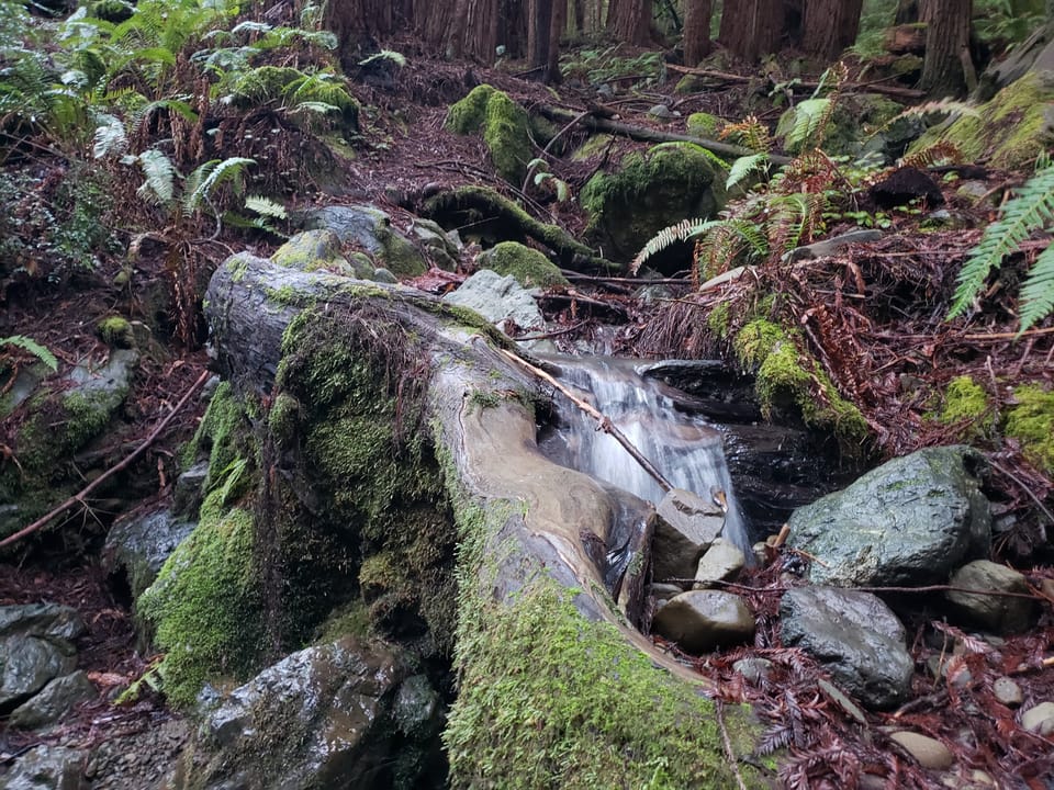
The county's well owner manual says to measure your depth to water in spring and fall. Fall is the reading that shows how low your well gets.[5] Our take: it is the most useful thing a well owner can do this month.
- Sign up. The three groundwater agencies run a free program called LEVEL UP! Fill in its interest form, then a form with details about your well. Staff can help if you need it. Readings are taken in October and in April.[10]
- Borrow the meter. They lend a sonic water level tool for free on weekdays (Monday to Thursday in Petaluma), from pickup spots in Santa Rosa, Petaluma and Sonoma.[10]
- Rest the well. Don't use well water for 10 to 12 hours, so the level can settle. Overnight works. If you can't, wait at least 2 hours.[5][10]
- Measure, write it down and report it. Once your well is enrolled, your readings go on the groundwater data dashboard after staff review them. The dashboard also shows water level charts for monitoring wells across the three basins.[10][14] Your name and address stay private.[14]
- Know your pump depth. Ask your pump company where your pump sits. If the water level is close to the pump, the well can run dry while pumping.[5][15]
No paperwork for your well? Look up its driller report on the state's well report map. Driller reports list the well's depth and, often, the water level the driller found.[6][7]
If the water stops
- Check the power first. Then look for a leak, like a running toilet, a broken irrigation line or a soggy spot in the yard. A leak can pump a well or tank dry.[5]
- Turn the pump off if you think the well is running dry and it has no automatic low water shutoff. Running a pump without water can ruin it.[5]
- Call a licensed well and pump contractor. See how to find a licensed water pro.[5]
- Report a dry well to the state's dry well reporting system. Reports go straight to local agencies, including the county and groundwater agencies, and the state says many dry wells go unreported.[16][17]
- Keep water on hand for the gap. See how a well owner gets ready for an outage.
Thinking of a new or deeper well? You need a county permit to drill or deepen one. The county's well rules have been challenged in court since 2021, so ask Permit Sonoma first.[3] Our guide to wells, tanks and pumps covers the rules as we know them.
What it means for you
- Your well is near its yearly low right now. A fall reading is your baseline. Take it, and take another in spring.
- Our take: depth to water matters more than well depth. A deep well with water far down and a pump set near it has less room to spare.
- In the three basins, shallow levels held steady after three wet years. Deep water under parts of Sonoma Valley has not. Our take: if you live there, saving water at home is part of the fix.
- Help the winter do its work. Fix leaks before summer, water less in August, and let more rain soak in.
Next: what to test your well water for, and how often, or check what your roof could catch with the rain calculator.
Photos by Devan Hemmings unless noted.
Sources
- 1. Santa Rosa Plain Groundwater Sustainability Agency, Annual Report, Water Year 2025 (March 2026)
- 2. U.S. Geological Survey, Ground Water and Surface Water: A Single Resource (Circular 1139), Box A: Concepts of ground water, water table and flow systems
- 3. Permit Sonoma, Well Ordinance Update (court case notice and frequently asked questions)
- 4. Santa Rosa Plain Groundwater Sustainability Agency, Understanding Groundwater
- 5. Sonoma County groundwater sustainability agencies and Permit Sonoma, Groundwater Well User Manual (2026)
- 6. California Department of Water Resources, Well Completion Reports (filing rule and WCR map search)
- 7. California Department of Water Resources, Well Completion Reports dataset (California Natural Resources Agency Open Data), new domestic wells in Sonoma County, pulled October 29, 2026
- 8. Sonoma Valley Groundwater Sustainability Agency, Annual Report Water Year 2025 fact sheet
- 9. Permit Sonoma, PJR-118 Guidelines for Preparing Groundwater Studies (groundwater availability classes)
- 10. Sonoma County groundwater sustainability agencies, LEVEL UP! voluntary well monitoring: participant enrollment and seasonal instructions
- 11. Sonoma Valley Groundwater Sustainability Agency, Annual Report, Water Year 2025
- 12. Santa Rosa Plain Groundwater Sustainability Agency, Annual Report Water Year 2025 fact sheet
- 13. Petaluma Valley Groundwater Sustainability Agency, Annual Report Water Year 2025 fact sheet
- 14. Sonoma County Groundwater Sustainability Agencies, Groundwater Data Dashboard
- 15. Sonoma Valley Groundwater Sustainability Agency, Groundwater Sustainability Priority Areas
- 16. California Department of Water Resources, DWR provides tools to help communities and well owners prepare for dry wells (June 2022)
- 17. California Department of Water Resources, Dry Well Reporting System, statewide summary
Checked 2026-10-29. Rules and programs change. If something here is out of date, the source above wins. Spot an error? See our corrections policy.
Related reads
 Wells and groundwaterWell water testing in Sonoma County: what to test and how oftenIf you are on a private well, nobody tests your water but you. Test for bacteria twice a year and after any flood, and for nitrate and minerals like arsenic and manganese every five years. About 1 in 3 Sonoma County domestic wells on record sits in an area the state rates high risk.Updated Oct 18, 2026
 Wells and groundwaterWell test planner: what is due on your wellTell us when you last tested. We show what is due now, using Sonoma County Environmental Health's schedule.Updated Oct 11, 2026
 Wells and groundwaterCan your yard recharge groundwater? How much soaks in, and a soil testYes, a little. Rain that soaks deep can reach the water table and refill the groundwater wells pump. Paving sends it away instead: on mostly paved ground, about a fifth as much soaks deep as on natural ground (our math from California figures). Start with the 24-hour soak test below.Updated Oct 18, 2026