Rivers and pollutionGuide
Coming home to your watershed: a Sonoma County guide
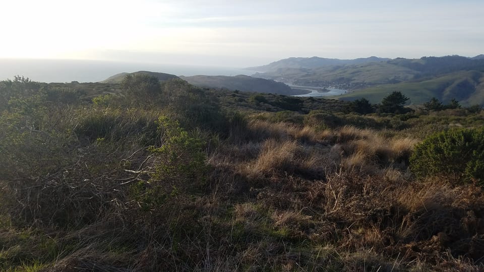
You live in a watershed before you live in a town. The ridges around you decide where your rain goes: which creek, which river, which stretch of sea. Pomo and Coast Miwok people knew these waters by name long before the county lines were drawn. Find yours on the map below, and follow your rain to the ocean.
Listen to this article
Read aloud by an AI voice.
The first big storm of the fall comes in at night.
By morning, water is running off your roof and down the road. It finds a ditch, then a creek you've never looked at twice, then a river, then the sea.
Could you name every stop? Most of us can't.
Everyone whose rain takes the same path shares a watershed. It may be the oldest kind of neighborhood there is.
Jump to the map, or read on.
The first question on the quiz
In 1981, a magazine called CoEvolution Quarterly ran a quiz: "Where You At?"[1] One of its authors, the novelist Jim Dodge,[2] lived for years on a ranch in western Sonoma County.[3]
The first question:
"Trace the water you drink from precipitation to tap."[4]Where You At? A Bioregional Quiz, 1981
The quiz grew out of bioregionalism, the idea that we belong to a place by its ridges and rivers, not its county lines. Peter Berg and Raymond Dasmann called that work "learning to live-in-place."[5]
The poet Gary Snyder put it plainly in a 1976 talk:
"Thus, knowing who we are and knowing where we are are intimately linked."[6]Gary Snyder, Reinhabitation
Later, in "Coming into the Watershed," he noted that California is a recent invention, drawn with straight lines. The ridges and rivers were here first.[7]
Here in west county, Brock Dolman of the Occidental Arts and Ecology Center coined "Basins of Relations." A watershed, he means, is also its people, and how they treat each other and the water.[8] His center helps neighbors organize "from ridgeline to reef."[8] He also coined slow it, spread it, sink it.[9]
Find your watershed
- Type your address, or tap anywhere on the map.
- Your home area lights up, along with the path your rain takes to the sea.
- Tap a nearby watershed below the map to see the one over the ridge.
Type an address, or tap anywhere on the map.
Each area with a thin white outline is a subwatershed, the smallest kind. Darker gray lines group them into larger watersheds. Zoom in to see smaller creeks. Use the layers button at the top right of the map to switch to streets or a satellite view.
Small watersheds inside big ones
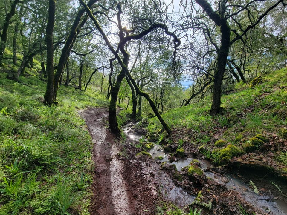
A watershed is all the land that drains to the same place. Its edges are the ridgelines around it.[10] Rain on one side of a ridge goes one way. Rain on the other side goes another.
Watersheds nest like boxes inside boxes. Your creek's watershed sits inside a river's, which sits inside a bigger one.
The US Geological Survey (USGS), the federal science agency that maps the nation's water, sorts the country into six levels.[11][12]
Here is downtown Santa Rosa. Read it from the top down: each row sits inside the one above it. The smaller the level, the more of them there are.
| Level | Santa Rosa's | How many in the US |
|---|---|---|
| Region | California | 22 |
| Subregion | Klamath-Northern California Coastal | 245 |
| Basin | Northern California Coastal | 405 |
| Subbasin | Russian (the Russian River) | about 2,400 |
| Watershed | Mark West Creek | about 19,000 |
| Subwatershed | Lower Santa Rosa Creek | about 105,000 |
Santa Rosa Creek reaches Mark West Creek through the Laguna de Santa Rosa, so downtown sits in the Mark West Creek watershed.[13]
So "what watershed am I in?" has six right answers. To see yours, tap "Your place in the USGS system" under your map result. On this page, "your watershed" means the smallest, the subwatershed.
Where Sonoma County's rain ends up
You might expect it all to end up in the Russian River. About half does.
Our calculation from USGS watershed boundaries. Method: the share of each subwatershed inside the county line, added up by where its water ends up.[14]
The rest goes four ways. The south county drains to San Pablo Bay. The Gualala River drains the northwest corner. Short creeks along the coast run straight to the ocean. And the esteros near Bodega drain to Bodega Bay.
The Russian River's watershed covers 1,485 square miles.[15] By our count, about six in ten of them are in Sonoma County.[14]
A walk down the river
The Russian River starts in Mendocino County. The Southern Pomo called it Ashokawna, "east water place," and Bidapte, "big river."[16] Russian fur traders came ashore at Bodega Bay in 1812, gave the river a Russian name, and English speakers later made it the Russian River.[16]
Some of its water isn't from this watershed at all. Since the early 1900s, PG&E's Potter Valley Project has sent water from the Eel River into the Russian's headwaters.[17] That may change: PG&E wants to remove its two Eel River dams, and local agencies hope to keep some Eel water coming in the wet months.[17][18] More in how the Russian River works.
Dry Creek got its name because it went dry in summer.[19] Since Warm Springs Dam was built in 1983, its headwaters lie under Lake Sonoma.[19] Water released from the dam now keeps it flowing, often too fast for young salmon and steelhead trout to find a calm place to grow.[20]
The lake covered more than a creek. It flooded many of the valley's 65 prehistoric and 45 historic Pomo sites, the Dry Creek Rancheria writes. Basket weavers such as Elsie Allen and Mabel McKay gathered sedge and willow there.[21]
Mark West Creek is named for William Mark West, a Scot who received the land grant Rancho San Miguel in 1840.[22]
Before it meets the river, Mark West Creek takes in the Laguna de Santa Rosa. This long, low wetland runs from Cotati to Forestville. In winter it holds water like a basin, and in floods the Russian River spills back into it. More than 200 kinds of birds use it.[13] In 2011 it was named a Wetland of International Importance.[23]
Santa Rosa Creek feeds the Laguna, and Matanzas Creek feeds Santa Rosa Creek. In the 1830s, cattle from María Carrillo's Rancho Cabeza de Santa Rosa were slaughtered where the two creeks meet. The place was called La Matanza, the slaughter, and the smaller creek took its name from it.[24]
Farther down, Green Valley Creek takes in Atascadero Creek. Atascadero is an old Spanish word for a bog or mire.[25] Near Graton, the state protects a marsh along it.[26]
Then the river winds past the redwoods and meets the ocean at Jenner.[15]
The ones that go their own way
Sonoma Creek starts in Sugarloaf Ridge State Park and runs down the Sonoma Valley to the Napa-Sonoma Marsh on San Pablo Bay.[27][28] Nobody agrees where the name "Sonoma" comes from. The standard book on California place names favors a Patwin word for "nose." "Valley of the Moon" is the version Jack London made famous.[29]
The Petaluma River drains the other side of Sonoma Mountain to the bay.[28] For most of its length, it rises and falls with the tide.[30] Mariano Vallejo said "Petaluma" meant "oh fair vale." A Bodega Miwok elder, Tom Smith, said in 1932 that it meant "back," likely the long, flat back of Sonoma Mountain.[31]
The Gualala River drains the northwest corner. For its last few miles it is the line with Mendocino County, and then it meets the ocean.[32] Its name is often said to mean "where the waters meet." The linguist Robert Oswalt disagreed. He traced it to the Kashaya Pomo phrase for a river mouth, "place where water goes down."[33]
Salmon Creek runs about 15 miles to the ocean near Bodega Bay. A sandbar often closes its mouth for the season and turns it into a lagoon.[34] Since 2008, young coho raised in captivity have been released into it.[35]
The Estero Americano, a long tidal inlet, forms part of the county line with Marin. It drains into Bodega Bay.[36]
The names that came first
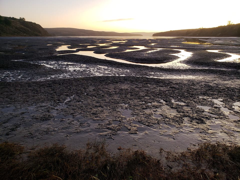
Long before ranchos and county lines, people here knew the land by its water.
The Kashia Band of Pomo Indians describe their homeland by its rivers:
"The Kashia lived in lands that extended from the Gualala River in the North to Duncan's Point south of the Russian River."[37]Kashia Band of Pomo Indians
Inland, their lands reached "down the Warm Springs Creek to the confluence of Dry Creek."[37] Their old village of Metini stood near where the Russians later built Fort Ross.[38]
The Federated Indians of Graton Rancheria are Coast Miwok and Southern Pomo people. The Bodega Miwok lived around Bodega Bay, and Bodega Miwok families founded the commercial fishing there.[39]
The Dry Creek Rancheria Band of Pomo Indians lives between Healdsburg and Geyserville. Its ancestral lands were flooded by Lake Sonoma in 1983.[40] The Lytton Band of Pomo Indians' ancestral lands run from the North Bay to the Russian River Valley.[41]
Some of the old names stayed. Petaluma and Cotati come from Coast Miwok villages,[31][42] and Gualala from the Kashaya Pomo.[33]
Under the ground: groundwater basins
Groundwater follows other lines.
The state Department of Water Resources maps groundwater basins: layers of sand and gravel under the valleys that hold water and give it up to wells.[43] Their edges follow the rock underground, not the ridges on top.
So one basin can sit under several watersheds. The basin under the hills around Forestville and Bodega, which the state calls the Wilson Grove Formation Highlands, lies under four: by our count, land above it drains to the Russian River, to Bodega and Tomales bays, to San Pablo Bay and to coastal creeks.[14] The Kenwood Valley basin straddles the divide between Santa Rosa Creek and Sonoma Creek.[14]
Tick "Show groundwater basins" under the map to see them. Homes in the hills, outside every basin, draw from water in cracks in the rock. See who manages groundwater in Sonoma County.
Natural neighborhoods
A county line tells you where you vote. A watershed tells you who you share water with.
"The movement of water over and through the living ecosystem connects us to one another and to all species living in our Basin of Relation."[10]Occidental Arts and Ecology Center
What happens upstream reaches you. What you do reaches the people below you.
- Floods. Rain on Santa Rosa's streets ends up in the same river that floods Guerneville. See how the Russian River works.
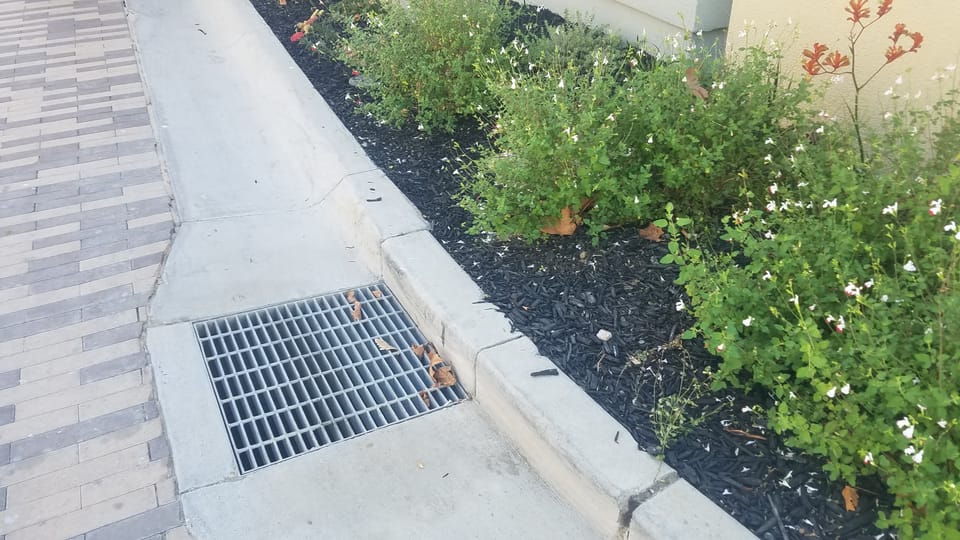
- Storm drains. What goes down a street drain flows to a creek with no treatment. See only rain down the storm drain.
- Mud. Soil that washes off a slope can settle in the gravel where salmon lay their eggs. See mud in the creek.
- Drinking water. Petaluma and the city of Sonoma buy water from Sonoma Water,[44] which pumps it from wells beside the Russian River.[45] After it goes down their drains, it heads for San Pablo Bay. One glass of water can cross two watersheds.
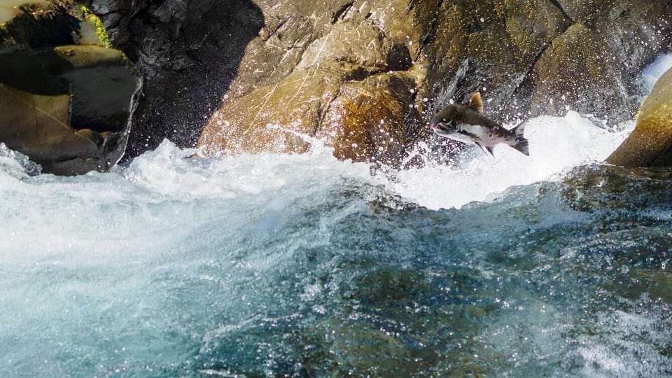
And there are the fish. Coho salmon swim up these creeks from the ocean to spawn.
In 2025, a Pinoleville Pomo Nation water specialist spotted young coho in a Russian River creek in Mendocino County. It was the first sign of wild coho spawning in the river's upper basin since 1991.[46] Healthy creeks, all the way up, are how that keeps happening.
Getting to know your watershed
Here is our short Sonoma County version of the 1981 quiz. The map answers the first four.
- What is the closest named creek to your home?
- Where does your rain meet the ocean?
- Which watershed is over the ridge from you?
- Is there a groundwater basin under you?
- Who lived on your land first, and what did they call the river?
- How much rain fell where you live last winter? Check rain by town.
Then meet the people who look after it:
- Russian Riverkeeper runs a river cleanup every year.
- Laguna de Santa Rosa Foundation holds Laguna Keepers, a monthly volunteer restoration day.
- Friends of the Mark West Watershed works "from ridge top to ridge top."
- Sonoma Ecology Center works for the Sonoma Valley and has volunteer days.
- Friends of the Petaluma River has spoken up for the river since 2005.
- Sonoma and Gold Ridge resource conservation districts are local public agencies that help landowners care for creeks, soil and water.
- OAEC's WATER Institute in Occidental teaches watershed classes and helps neighbors start watershed groups.
Next time a storm comes in, go stand by the water for a minute. You'll know where it's going.
Next: keep more of that rain on your own land with slow it, spread it, sink it.
Photos by Devan Hemmings unless noted.
Sources
- 1. Whole Earth Index, CoEvolution Quarterly, Winter 1981, table of contents
- 2. Daniel Harper, Bioregional quiz (2018), on the authors of Where You At?
- 3. Heyday Books, Jim Dodge author page
- 4. Where You At? A Bioregional Quiz (1981), as reproduced by kottke.org
- 5. Planet Drum Foundation, Peter Berg and Raymond Dasmann, Reinhabiting California
- 6. Gary Snyder, Reinhabitation (1976 talk; in The Old Ways, 1977)
- 7. Jason Handy, With You in Me: Gary Snyder and the Wild Within, quoting Snyder's Coming into the Watershed
- 8. Occidental Arts and Ecology Center, Basins of Relations: starting and sustaining community watershed groups
- 9. Occidental Arts and Ecology Center, The origin and fandom of slow it, spread it, sink it (2023)
- 10. Occidental Arts and Ecology Center, WATER Institute, Watersheds
- 11. US Geological Survey, Hydrologic Unit Codes (HUCs) explained
- 12. US Geological Survey, Watershed Boundary Dataset
- 13. North Coast Regional Water Quality Control Board, Laguna de Santa Rosa
- 14. Our calculation from USGS Watershed Boundary Dataset and DWR Bulletin 118 data, method in data/sonoma-watersheds/README.md
- 15. North Coast Regional Water Quality Control Board, Russian River watershed
- 16. Russian River Chamber of Commerce, Why is it called the Russian River?
- 17. PG&E, surrender application and decommissioning plan for the Potter Valley Project
- 18. Sonoma Water, Eel-Russian Project Authority overview fact sheet (September 2025)
- 19. Permit Sonoma, Sonoma County historic overview: Dry Creek Valley
- 20. Sonoma Water, Dry Creek habitat enhancement
- 21. Dry Creek Rancheria Band of Pomo Indians, Dry Creek before the flood (2023)
- 22. Wikipedia, Rancho San Miguel (West)
- 23. Laguna de Santa Rosa Foundation, press release on the Ramsar designation (2011)
- 24. Arthur Dawson, Sense of Place: How Matanzas Creek got its name, Press Democrat (2012)
- 25. Wikipedia, Atascadero, California (name, citing Sanchez, Spanish and Indian Place Names of California)
- 26. California Department of Fish and Wildlife, Atascadero Creek Marsh Ecological Reserve
- 27. Wikipedia, Sonoma Creek
- 28. Sonoma Mountain Preservation, The three watersheds of Sonoma Mountain
- 29. Wikipedia, Sonoma Valley (origin of the name, citing Gudde, California Place Names)
- 30. Wikipedia, Petaluma River
- 31. Press Democrat, How Petaluma got its name (2016)
- 32. Wikipedia, Gualala River
- 33. Robert L. Oswalt, Gualala, Names (American Name Society)
- 34. UC Davis Coastal Oceanography, Salmon Creek
- 35. Occidental Arts and Ecology Center, Salmon Creek habitat restoration program
- 36. Marin County Flood Control District, Estero Americano
- 37. Kashia Band of Pomo Indians, About
- 38. Fort Ross Conservancy, Kashaya (text by Otis Parrish)
- 39. Federated Indians of Graton Rancheria, History
- 40. Dry Creek Rancheria Band of Pomo Indians, History
- 41. Lytton Band of Pomo Indians, History
- 42. Wikipedia, Cotati, California
- 43. California Department of Water Resources, Bulletin 118 groundwater basins
- 44. Sonoma Water, 2020 Urban Water Management Plan (June 2021), Sections 1.3, 1.4 and 5.1, Table 4-3
- 45. Sonoma Water, Water supply
- 46. Office of the Governor, Coho salmon are making a comeback in the Russian River (December 11, 2025)
Checked 2026-10-18. Rules and programs change. If something here is out of date, the source above wins. Spot an error? See our corrections policy.
Related reads
 Rivers and pollutionHow the Russian River works: dams, minimum flows and floodsTwo dams store winter rain and release it in summer. Sonoma Water draws the water from wells beside the river for over 600,000 people. The state sets how much must stay in the river.Updated Oct 18, 2026
 Rivers and pollutionOnly rain down the storm drainStorm drains carry water straight to the nearest creek. It is not treated. Only rain should go down them.Updated Oct 11, 2026
 Rivers and pollutionEl Niño and Sonoma County water: the river, the reservoirs and your rainNOAA says a strong to very strong El Niño is likely this winter, which tilts California toward a wet one. On the Russian River, strong El Niño winters brought a major flood at Guerneville in 3 of 9 cases since 1951, about twice the usual rate, but the worst floods came in other winters. Get ready for high water and plan to keep some of the rain.Updated Oct 18, 2026