Watershed finder: what watershed am I in?
Type an address or tap the map. We show your watershed, your closest named creek, the groundwater basin under you, and every stop your rain makes on its way to the sea.
Find your watershed
- Type your address, or tap anywhere on the map.
- Your home area lights up, along with the path your rain takes to the sea.
- Tap a nearby watershed below the map to see the one over the ridge.
Type an address, or tap anywhere on the map.
Each area with a thin white outline is a subwatershed, the smallest kind. Darker gray lines group them into larger watersheds. Zoom in to see smaller creeks. Use the layers button at the top right of the map to switch to streets or a satellite view.
How to read it
- Your watershed. The land that drains to the same creek as your roof. It's the smallest unit USGS maps, called a subwatershed.
- Where your rain goes. Each watershed your water passes through, until it reaches the Russian River, San Pablo Bay, the Gualala River or the ocean.
- Closest named creek. The nearest creek on the map as the crow flies. Your rain may reach a different one first.
- Groundwater basin. The mapped water underground. If none shows, the state hasn't mapped a basin there. Wells in the hills often draw from rock.
Want the stories behind the creeks? Read Coming home to your watershed.
Boundaries are public data and can be off at the edges. Address search uses OpenStreetMap, so a new street may not be found. Tap the map instead.
Photos by Devan Hemmings unless noted.
Sources
- US Geological Survey, Watershed Boundary Dataset
- US Geological Survey, National Hydrography Dataset
- California Department of Water Resources, Bulletin 118 groundwater basins
- US Census Bureau, TIGER county lines
Checked 2026-10-19. Rules and programs change. If something here is out of date, the source above wins. Spot an error? See our corrections policy.
Related reads
 Rivers and pollutionHow the Russian River works: dams, minimum flows and floodsTwo dams store winter rain and release it in summer. Sonoma Water draws the water from wells beside the river for over 600,000 people. The state sets how much must stay in the river.Updated Oct 18, 2026
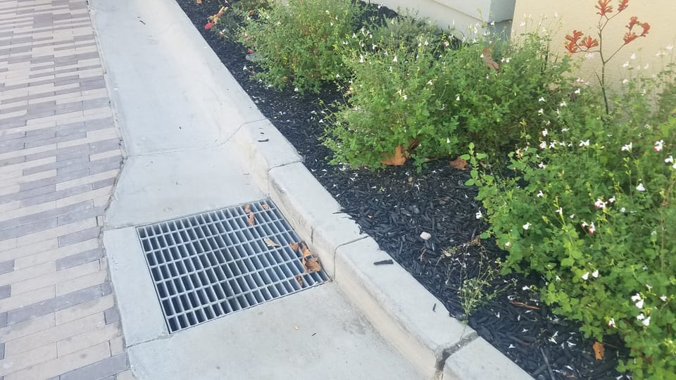 Rivers and pollutionOnly rain down the storm drainStorm drains carry water straight to the nearest creek. It is not treated. Only rain should go down them.Updated Oct 11, 2026
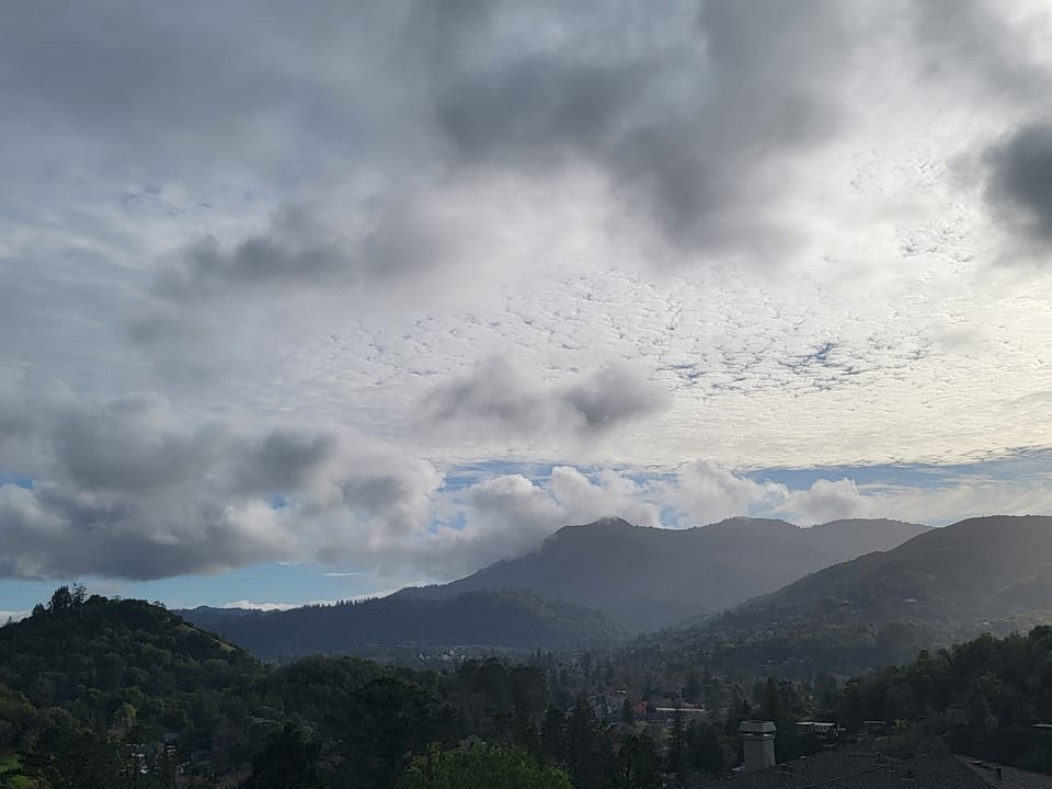 Rivers and pollutionEl Niño and Sonoma County water: the river, the reservoirs and your rainNOAA says a strong to very strong El Niño is likely this winter, which tilts California toward a wet one. On the Russian River, strong El Niño winters brought a major flood at Guerneville in 3 of 9 cases since 1951, about twice the usual rate, but the worst floods came in other winters. Get ready for high water and plan to keep some of the rain.Updated Oct 18, 2026