NewsNews
Midweek storm looks stronger than the last two: 2 to 5 inches forecast, with flooding concerns
The National Weather Service expects the storm arriving late Tuesday and lasting through Thursday to be more impactful than the two before it. Its forecast is 2 to 3 inches of rain across much of the Bay Area and 3 to 5 inches in the coastal ranges, with a rising flooding concern. Monday night and Tuesday are the dry window to get ready.
Listen to this article
Read aloud by an AI voice.
What this forecast is
This comes from the National Weather Service forecast office for the San Francisco Bay Area. Its forecasters write a plain-language note called the Area Forecast Discussion. This story calls it the forecast note. The note issued early Sunday, November 15, names Sonoma County in its rain totals.[1]
It uses the word “bankfull.” A creek is bankfull when it is full to the top of its banks. Any more water spills over.
What happened
Three storms are coming in a row. Friday's has passed. Today's is the second. The third arrives late Tuesday, and it is the one the forecast note flags for flooding.
Today, through Monday. A front brings rain to the North Bay this morning. For this system through Monday, the forecast note expects 1 to 1.25 inches in the Sonoma Coastal Ranges and a half inch to 1 inch across Sonoma and Marin counties.[1] The forecast for the town of Sonoma, a forecast for one spot on the map, says a quarter to a half inch today and a tenth to a quarter inch tonight.[2]
Monday night and Tuesday. A lull. The forecast note says frost or cold weather advisories, which are official cold-weather notices, are possible Tuesday morning.[1] The Sonoma forecast calls for a low of 36 degrees Monday night and a sunny Tuesday.[2]
Late Tuesday through Thursday, maybe early Friday. The forecast note says this system “is looking to be more impactful than the previous two.” Forecasters expect it to slow down as it nears California. A slower storm drops more rain in one place. Their current forecast is 2 to 3 inches across much of the Bay Area and Central Coast, and 3 to 5 inches in the coastal ranges. The note gives no number for Sonoma County alone, and it says the final totals could still change.[1]
The note adds three more points:
- Wind. Gusts of 30 to 40 mph are possible on valley floors. Wind advisories are possible near the coast and in the hills.[1]
- Thunder. The chance of thunderstorms is as high as 20 to 30 percent on Wednesday and Thursday.[1]
- Flooding. In the note's words, “flooding concerns will increase as soils saturate and creeks and streams reach bankfull.” [1] Soaked ground cannot take in more water, so more of it runs off.
For the town of Sonoma, the forecast shows rain starting after 10 p.m. Tuesday, with a half to three quarters of an inch that night. Showers and possible thunder continue Wednesday. Thursday's rain falls mainly between 10 a.m. and 4 p.m. Friday is forecast mostly sunny.[2]
After that, the forecast note says the pattern stays active, with a lean toward more rain than normal into the last week of November.[1]
Earlier this week the third storm was uncertain, and our November 12 post reported that little flooding was expected this early in the season. The new note gives the storm rain totals and a flooding concern.
What it means for you
These are our suggestions, not the Weather Service's. The dry stretch is Monday night and Tuesday. Use it.
- Clear the water's path. Scoop leaves from gutters. Rake leaves off the street drain in front of your home. Point downspouts at least 5 feet from the house, onto ground that slopes away. See also what belongs in a street drain.
- Rural road? A culvert is the pipe under a driveway that lets ditch water through. Make sure yours is not blocked. Here is how to clear one.
- Sandbags help where water already gets in, like a low doorway. The county lists ten self-fill stations. Sand, bags and shovels are supplied, and the page says to take only what you need. Bring your own shovel anyway, because the page says county-donated shovels have gone missing in the past. The list covers only areas outside city limits, from Bodega Bay to Sonoma. Bodega Bay was still marked “Coming Soon,” with an estimated opening of November 12, so check before you drive. In a city, check your city's website.[3]
- Live near a creek? Pick a higher spot now for your cars and valuables, so you are ready Wednesday.
- On a well? The pump needs power, so no power means no water. Strong wind can cause outages. Fill a few jugs before Wednesday. More here.
Going to the coast? A High Surf Advisory, an official notice about dangerous waves, runs until 4 a.m. Tuesday. The forecast note says waves of 20 to 25 feet are breaking, with some bigger sets of 25 to 35 feet at favored spots along the coast. It urges people to stay away from the water's edge.[1]
What happens next
Forecasters update the note regularly, and the rain totals can move. Check the latest Area Forecast Discussion and your own forecast on weather.gov before Tuesday night. We will post again if the forecast changes a lot.
Where this came from: the National Weather Service Area Forecast Discussion for the Bay Area, the National Weather Service forecast for Sonoma, and the Sonoma County Emergency sandbags page, all read on November 15, 2026.
Photos by Devan Hemmings unless noted.
Sources
- 1. National Weather Service San Francisco Bay Area, Area Forecast Discussion, issued 4:12 a.m. November 15, 2026
- 2. National Weather Service, forecast for Sonoma, CA, updated 12:26 a.m. November 15, 2026
- 3. Sonoma County Emergency, Sandbags (self-fill locations, unincorporated areas)
Checked 2026-11-15. Rules and programs change. If something here is out of date, the source above wins. Spot an error? See our corrections policy.
Related reads
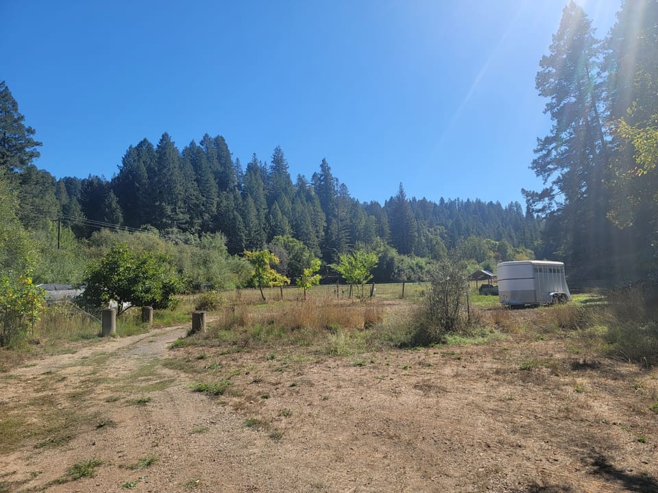 NewsCloverdale's Esmeralda plan: a site health study comes before phase one, and groundwater testing is requiredOn November 11, 2026, the Cloverdale City Council adopted the environmental review update for Esmeralda, a plan for up to 605 homes and 160 hotel rooms on a former mill site. The city's documents require a site health risk study before the first development phase can be approved. They also require groundwater testing.Posted Nov 14, 2026
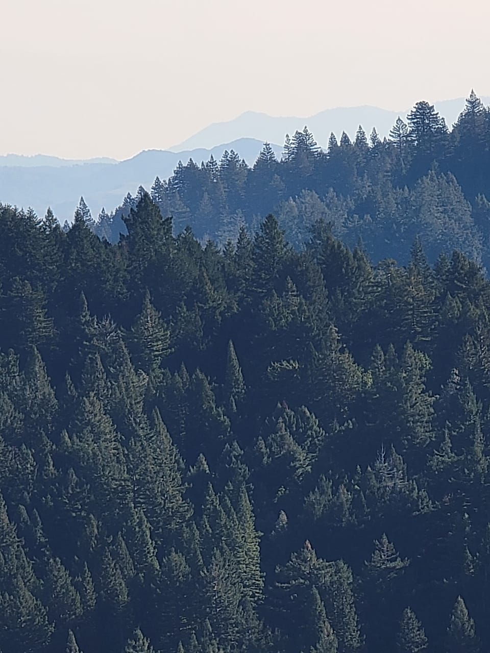 NewsVan Arsdale Dam drilling: state says PG&E's test holes need no full environmental reviewOn November 2, 2026, the state said PG&E's planned test drilling at a dam on the Eel River needs no full environmental review. The state lists it as Van Arsdale Dam, and we read it as Cape Horn Dam. It sends water to the Russian River. PG&E's request to remove the dam is not decided.Posted Nov 13, 2026
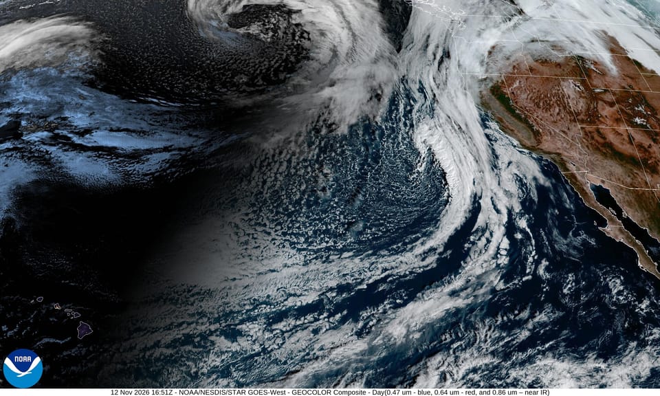 NewsNot a week of rain: three storms, starting overnightNot a week of rain. Three storms: Friday (the wettest, starting before dawn), Sunday into Monday, and about Wednesday, with mostly dry days between. Waves up to 30 feet hit the coast Saturday. Little flooding is expected this early in the season.Posted Nov 12, 2026